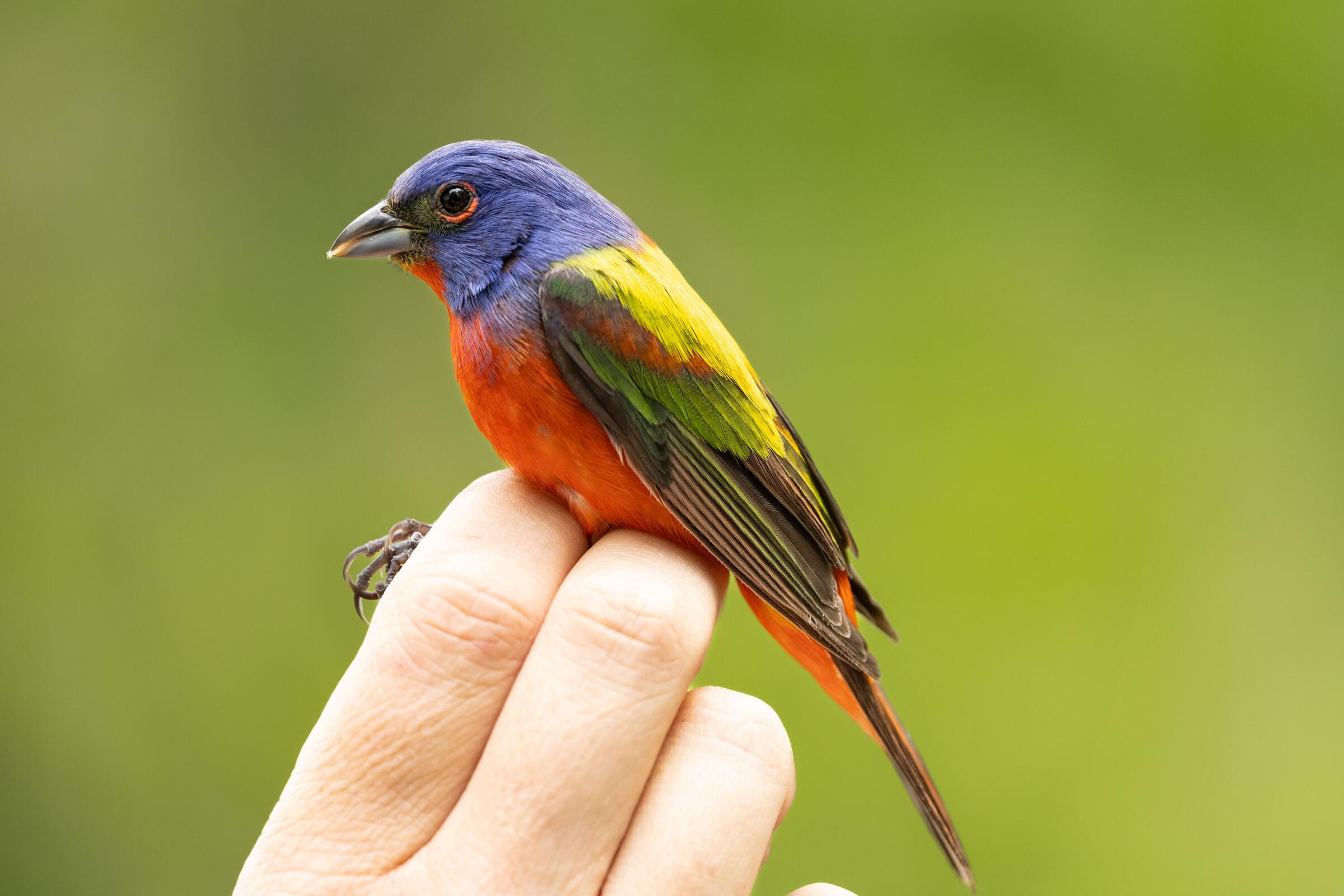
Ornithologists estimate that the total population of birds in North America has decreased by more than one-third over the last 55 years. To help monitor these population declines, determine their causes, and hopefully reverse them, researchers safely capture and tag birds with markers called bands. Bands are small metal bracelets that go around a bird’s leg, and each band has a unique ID number so that scientists can recognize individual birds when or if they capture them again. Being able to recognize different individual birds allows scientists to estimate total bird numbers at a location, as well as letting them determine demographic data such as the ratios of males to females and older birds to younger birds.
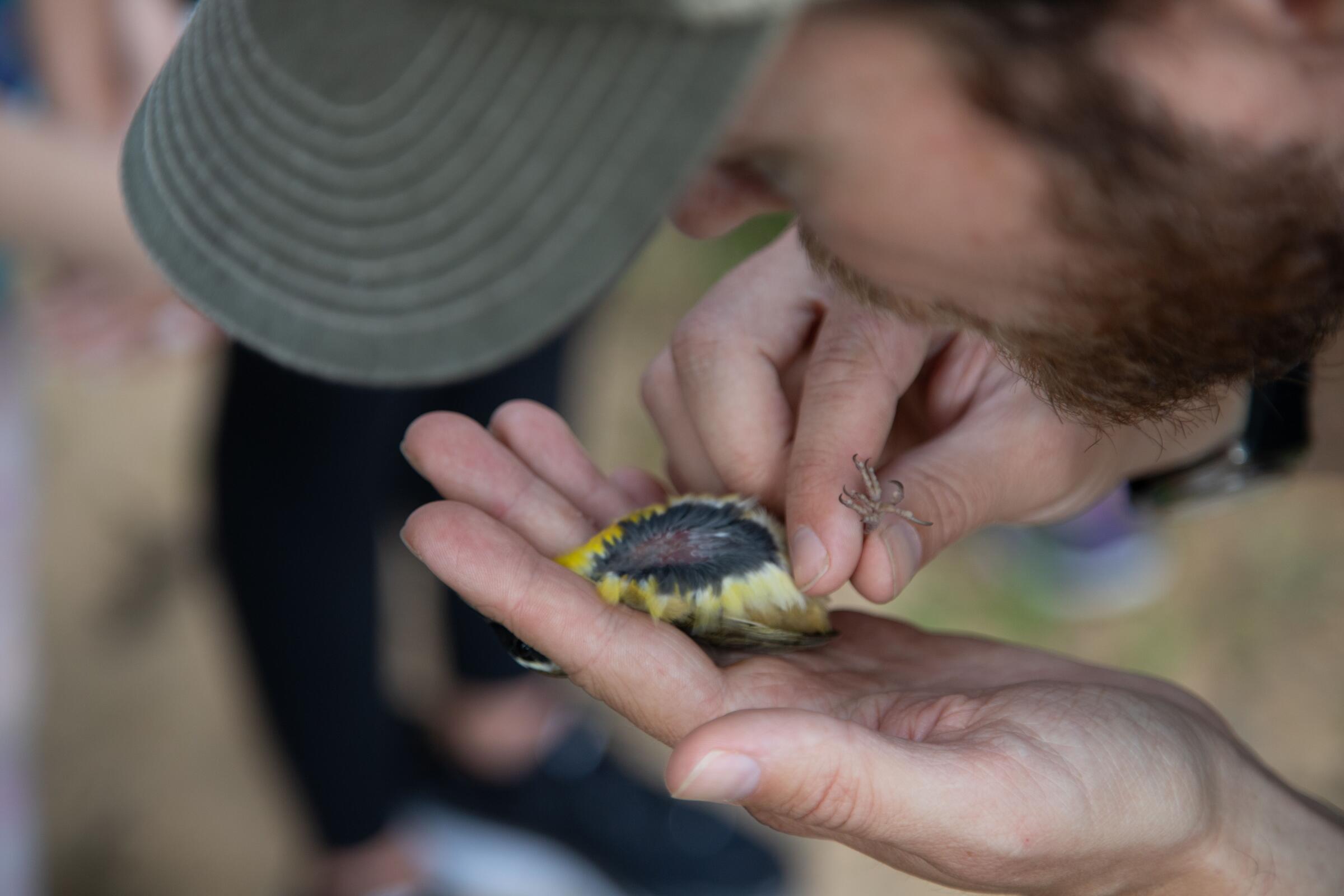
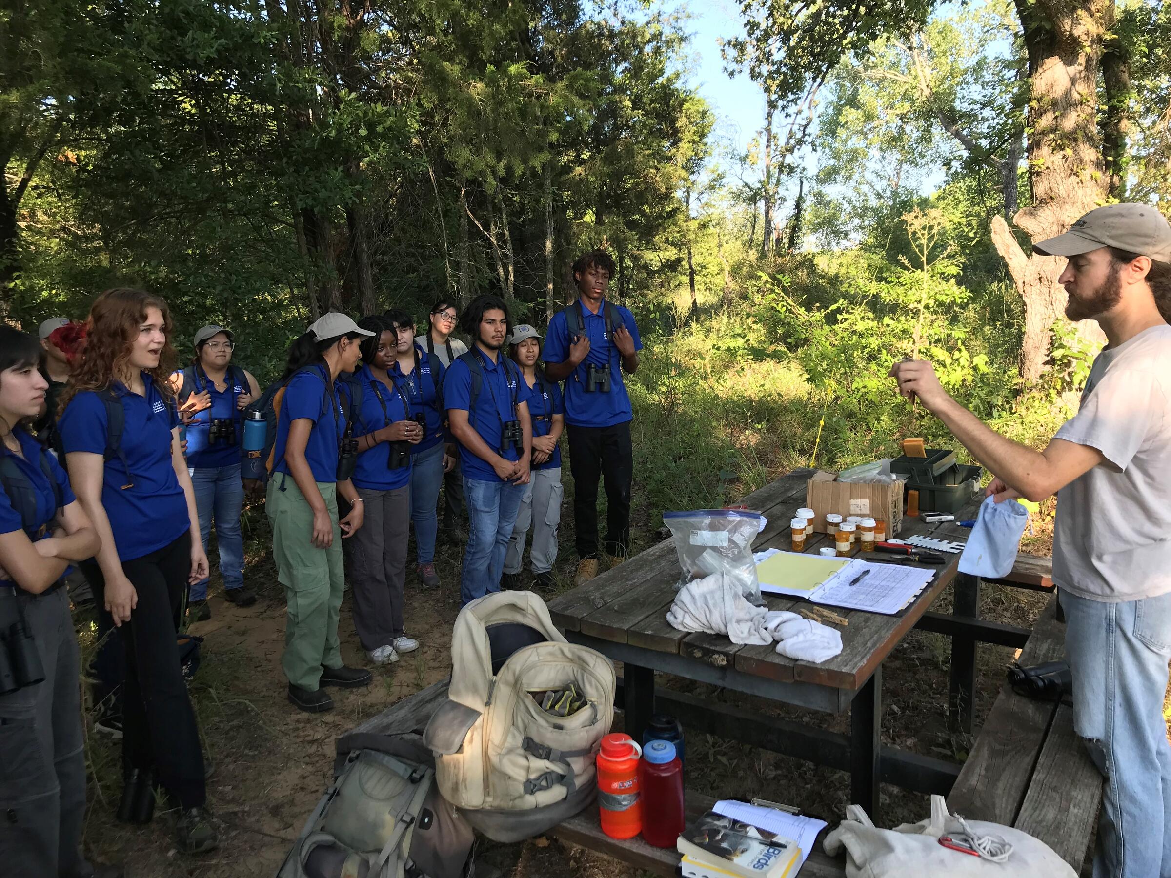
At Trinity River Audubon Center, we began a long-term bird monitoring program in the summer of 2023. During the summer and winter when birds are on their home territories, we capture birds using traps called mist-nets, place bands on the birds, and collect data on age, sex, and body condition. A priority is placed on the safety and well-being of the birds, and the trained researchers and volunteers working on this project handle the birds carefully and quickly before releasing them back into the wild.
Over a period of several years the data we collect will allow us to determine the rough population size of songbirds at the Audubon Center, if that number seems to be increasing or decreasing, and, if changes are occurring in the population size, potential reasons for why that might be. For example, a decrease in the ratio of juvenile birds in the population would indicate a decrease in nesting success, while a decrease in the return rate of banded adult birds from year to year would indicate a decrease in the ability of adults to survive from one year to the next.
The study at Trinity River Audubon Center contributes data to the Monitoring Avian Productivity and Survivorship (MAPS) program, and the Monitoreo de Sobrevivencia Invernal (MoSI) program. These two programs are continent-wide banding projects coordinated by the Institute for Bird Populations. MAPS takes place between early May and early August at locations throughout the United States and Canada when migratory birds are on their breeding grounds, and MoSI occurs from November to March at locations in the southern US, Mexico, the Caribbean, Central America, and South America when migratory birds are on their non-breeding grounds. Our location in North Texas allows us to contribute to both of these valuable programs and creates a more-full picture of what bird species use Trinity River Audubon Center throughout the year and how those species are doing at the location.
In addition to contributing to the MAPS and MoSI networks, the bird-banding data from Trinity River Audubon Center is being compared to bird-banding data from the John Bunker Sands Wetland Center 15 miles to the southeast. Trinity River Audubon Center and the surrounding Great Trinity Forest are an island of habitat surrounded by urban development, while the John Bunker Sands Wetland Center is in a more rural location. By comparing data from these two places, we hope to understand the different dynamics of bird numbers and demographics in urban areas of North Texas versus rural areas. Rapid suburban development is expected to take place in the area around the John Bunker Sands Wetland Center in the next two decades, and as that location becomes more isolated from other undeveloped habitat, we may see if the bird numbers and demographics there start to more closely resemble those at Trinity River Audubon Center.
Become a Member
Enjoy free admission, discounts in our nature store, and free and discounted programs at the center.
How you can help, right now

Volunteer With Us
Give back, use your skills, and learn more about the wild side of Dallas by volunteering with us.
Support Our Center
Conservation and outdoor education along the Great Trinity Forest and the Trinity River.